
| By Big Radio News Staff |
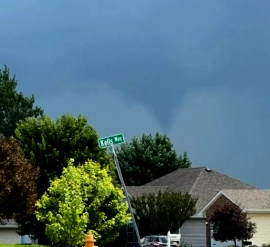
National Weather Service officials confirm the major storm that blew out power to big parts of Evansville Monday night included a tornado.
Weather service officials say storms that tracked through southern Wisconsin Monday night packed a confirmed, EF-0 tornado that touched down just southwest of city limits.
The Weather service says as twisters go, it was a small one — about a half-a football field wide.
Storm spotters captured the tornado on video. Footage shows it stayed on the ground for about two minutes and covered just over a mile of ground. It had top wind speeds of 70 miles per hour.
Damage apparently was limited to a narrow swath through some crop fields. An aerial photo taken later on shows what looks like a burnout streak through a couple fields.
A diagram of the twister’s track shows it missed one farm by just a few hundred yards, and actually ripped right between a cluster of about eight other homes before it petered out.
That’s the second tornado to touch down near Evansville since February, and at least the third twister to hit Rock County this year.